West end of Gladewater, TX
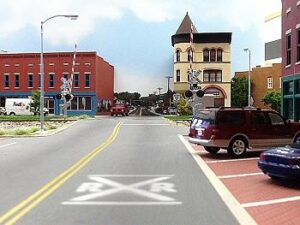
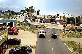
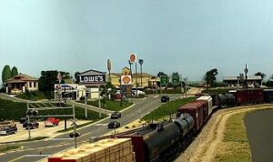
Main Street in Gladewater
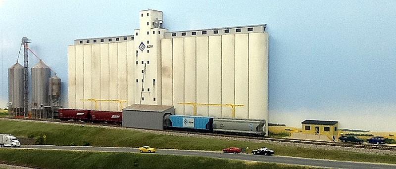
ADM grain elevator between Gladewater and Waycross
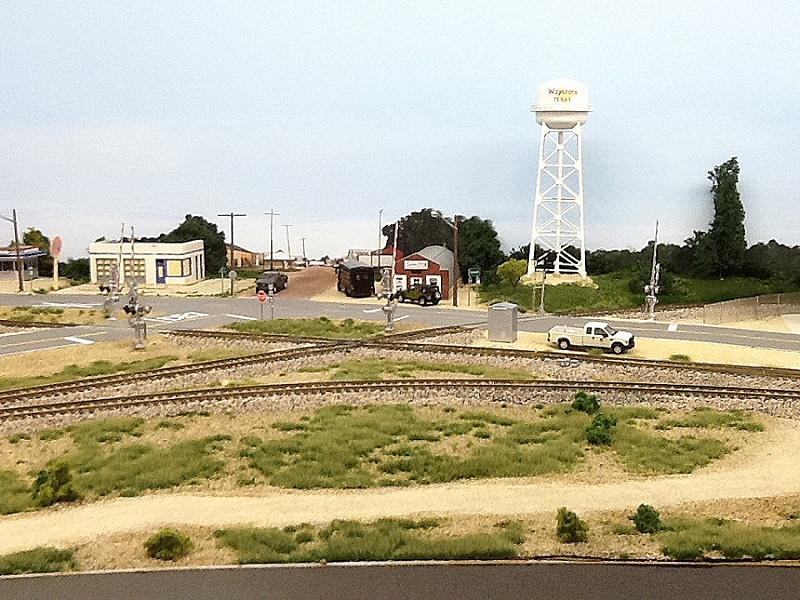
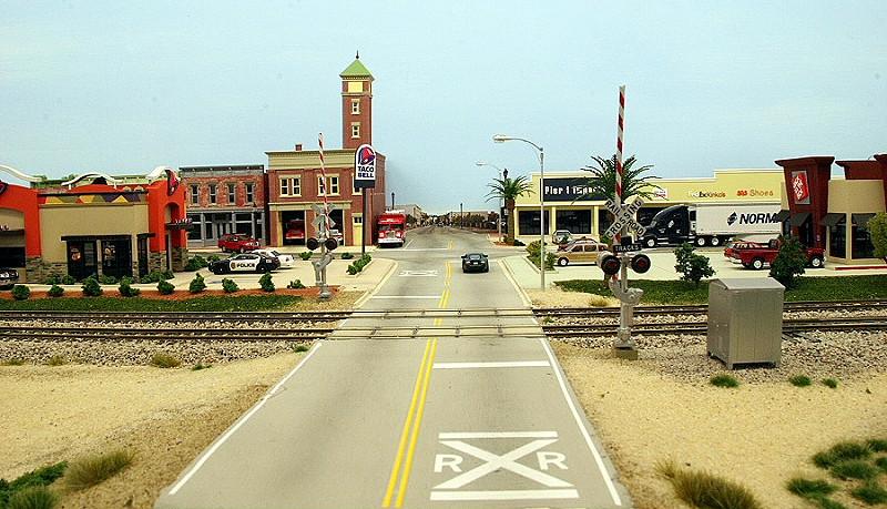
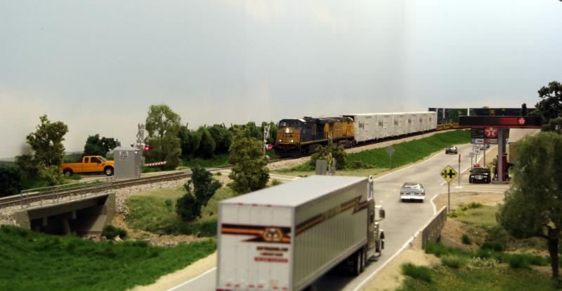
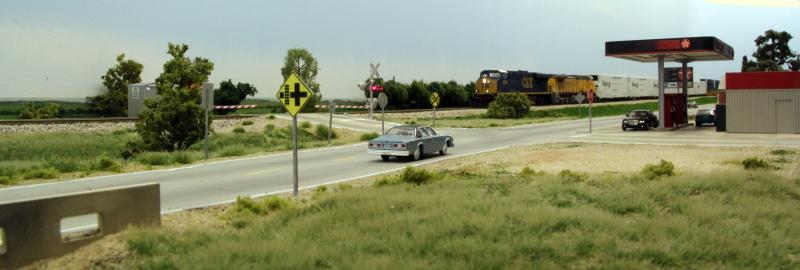
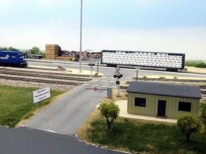
Waycross Junction at the west end of town is an active crossing with a south-to-east connector
BNSF autorack train in Waycross
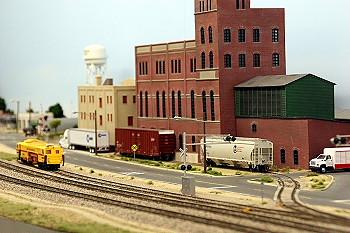
The brewery is another rail served industry in the west end of Waycross
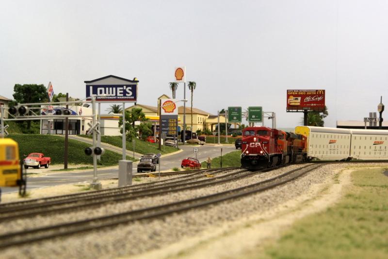
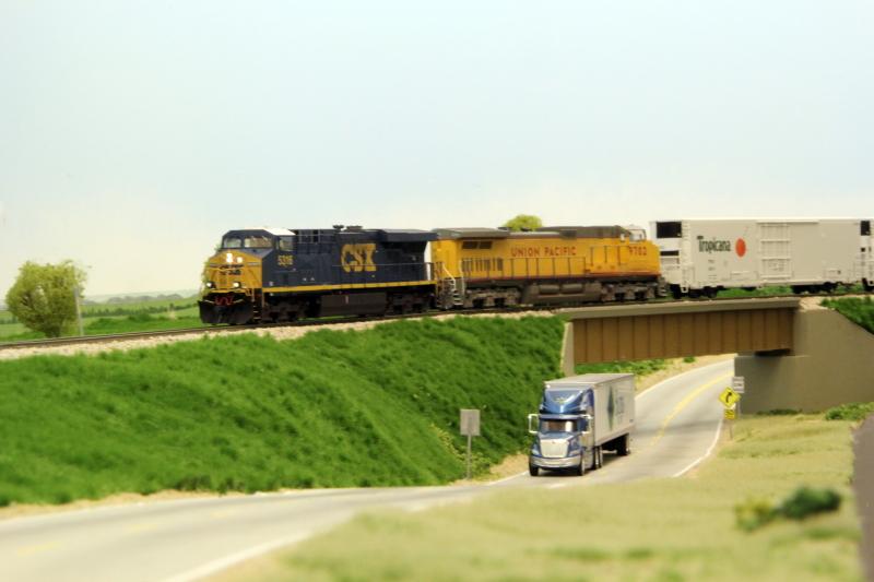
US-79 follows the railroad through town

Main Street in Gladewater
US-79 on the west side of downtown
The bus station and a downtown street seen from the Amtrak station
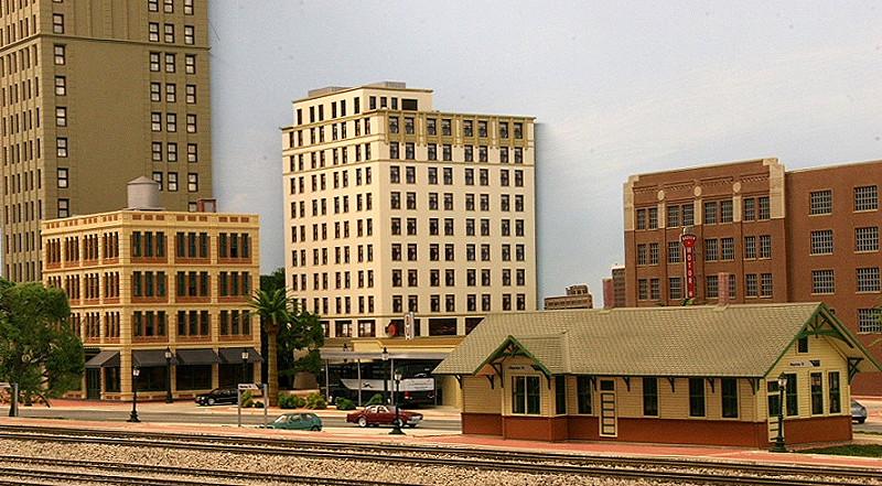
The Amtrak station is served by the daily Texas Eagle
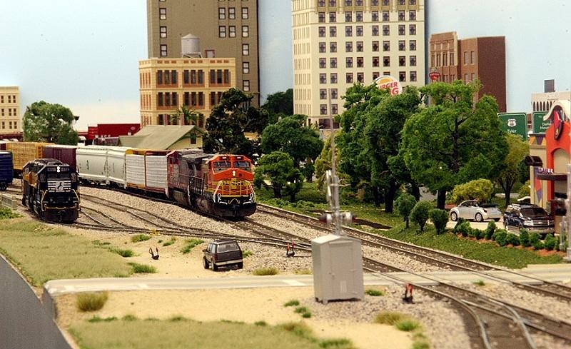
A BNSF freigh is waiting for a fresh crew in the siding at Waycross
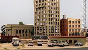
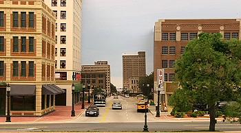
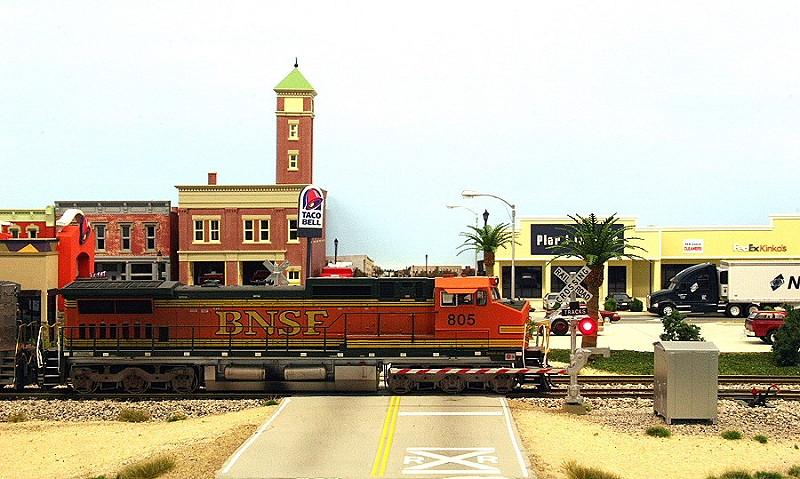
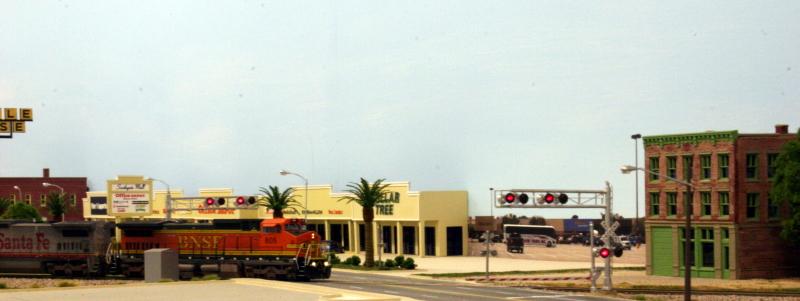
Waycross is a modern town with many restaurants and a mall
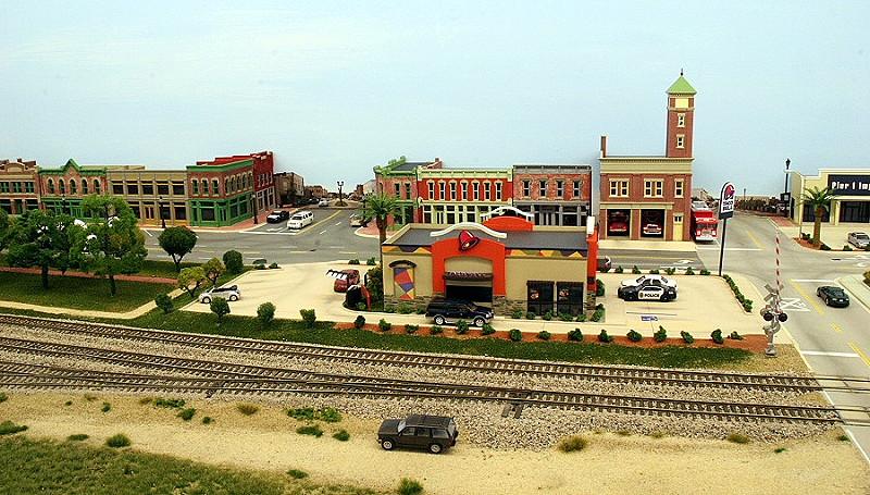
A view of the old part of town with a small park
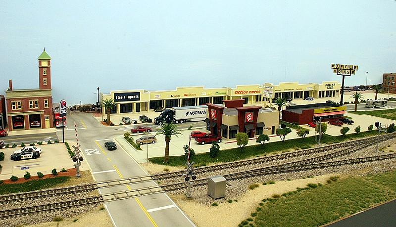
View of the mall area in the east end of town

..going east out of town..

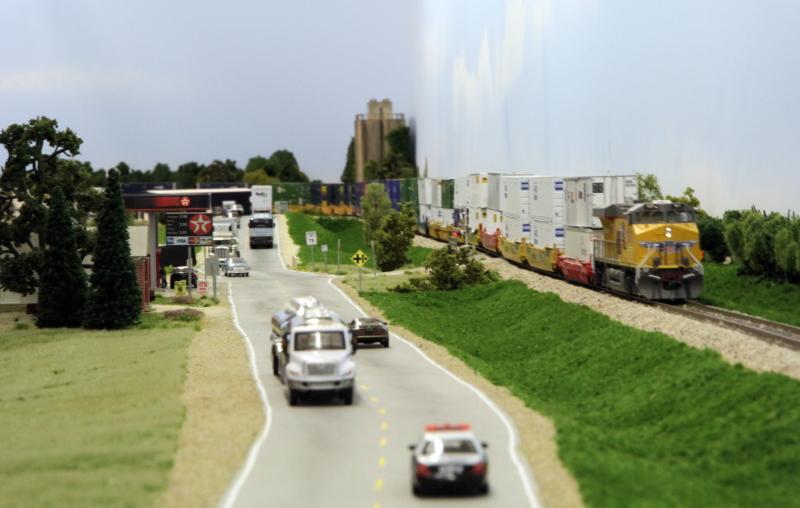
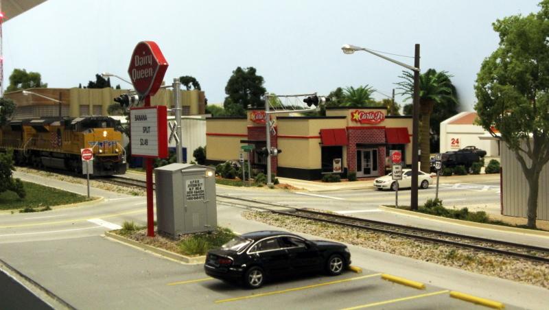
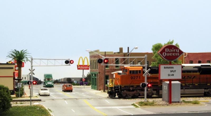
Jiffy Lube, Exxon and a few other businesses are in the east end of Waycross
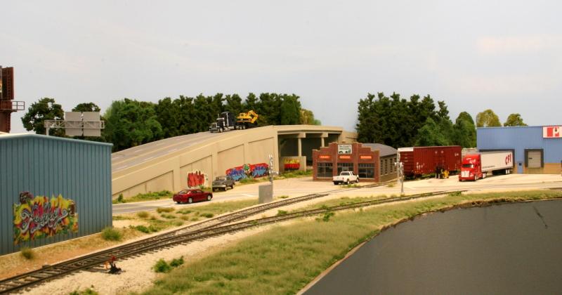
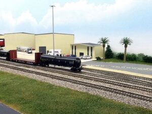
two rail serviced industries are located at the end of the industrial spur
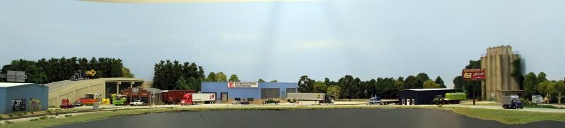
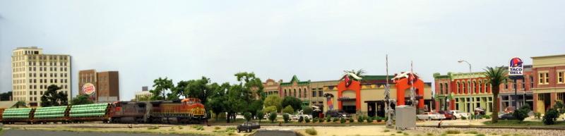
Panorama view of Waycross
The BNSF freight is leaving town
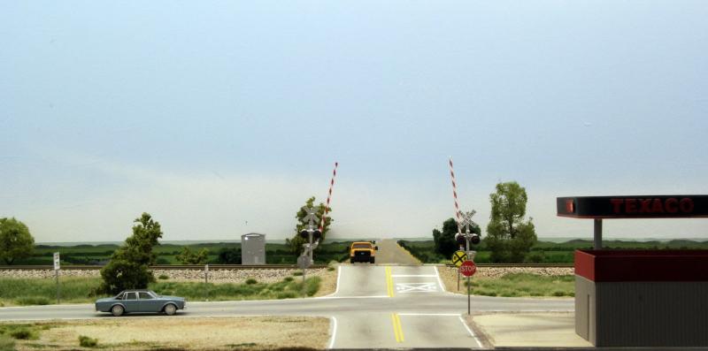
I made “the long lonesome Texas highway” with the tracks following the road based on a scene outside Moody, TX. I wanted a stretch of track where you could see a straight train in it’s full length. That works here, with the exception of the longest intermodals. The longest intermodal is 4 engines and 40 well cars.
“The Long Lonesome Texas Highway”
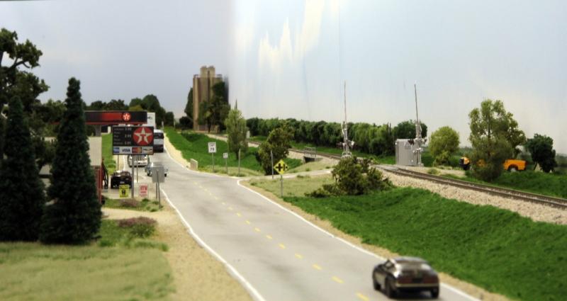
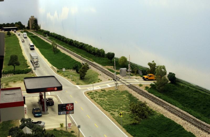
This rural Texaco station is located outside of Moody, which gave the idea for this scene
..the vast Texas contryside..
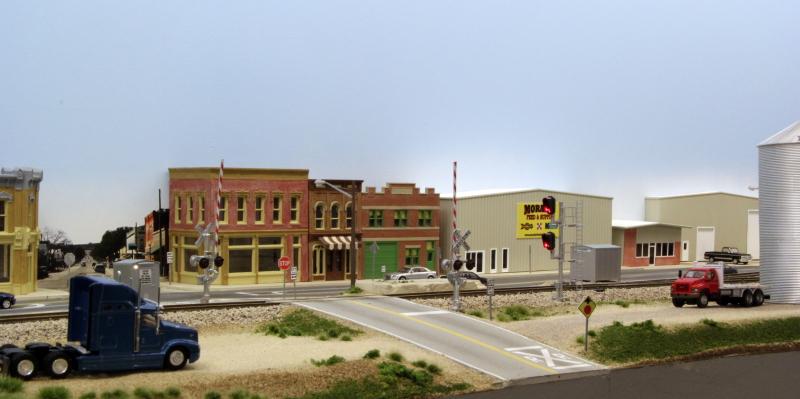
The small town of Clifton. The real Clifton is on BNSF’s line from Temple to Fort Worth
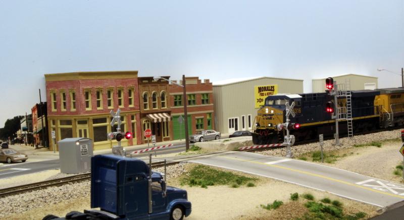
A UP stack train comes through town..
The railroad crosses over TX-317
..eye-level view..

…and finally the DPU
At the other end of Coleman siding is Coleman Transloading Facility. I chose to make the other area with switching a transloading facility so I can bring, switch and pick-up almost any type of railcar.
One end has tank loading and unloading racks and covered hopper racks, the middle a freighthouse with 2 tracks going inside (boxcars, coil cars and gondolas) and the other end has a track for loading and unloading lumber cars.
Coleman Transloading Facility entrance with the lumber yard in the background
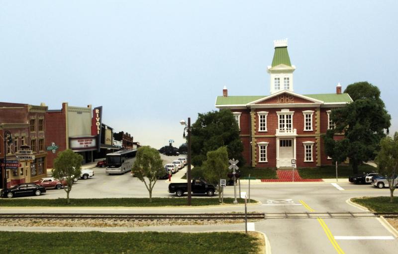
From the east end of Coleman siding the lines continues past a residential neighborhood into Livingston, TX. The fire station kit is modeled from the station in Livingston. The court house is also a replica of the actual one, as are the surrounding buildings and the First State Bank.
Past Livingston the lines crosses over Trinity River and goes to Smithville Jct. where the main line to Houston continues through the backdrop under a highway overpass. The Freeport Sub branchline runs through La Grange, TX which has several blocks of street running.
East end of Coleman siding looking towards Livingston
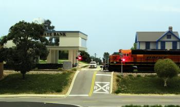
BNSF local passing First Stete Bank in Livingston
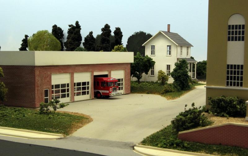
Livingston Fire Station no. 1
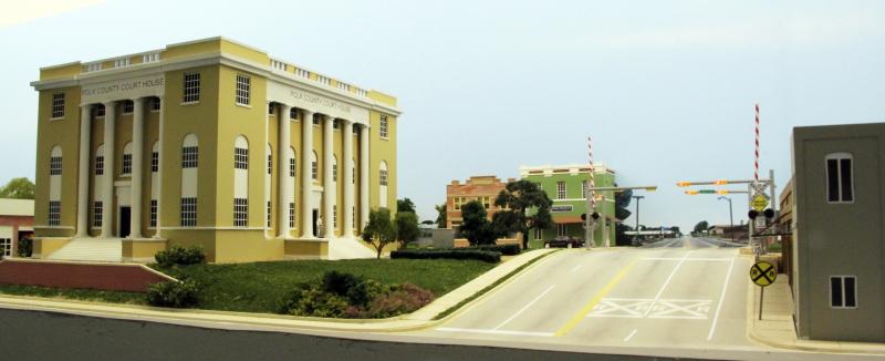
Polk County Court House in Livingston
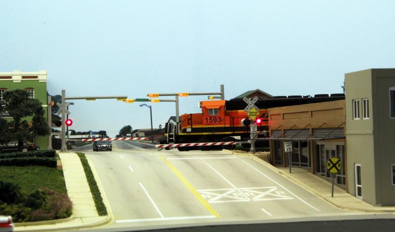
BNSF local through Livingston
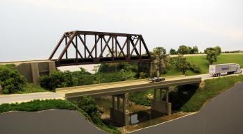
Trinity River bridge

Trinity River
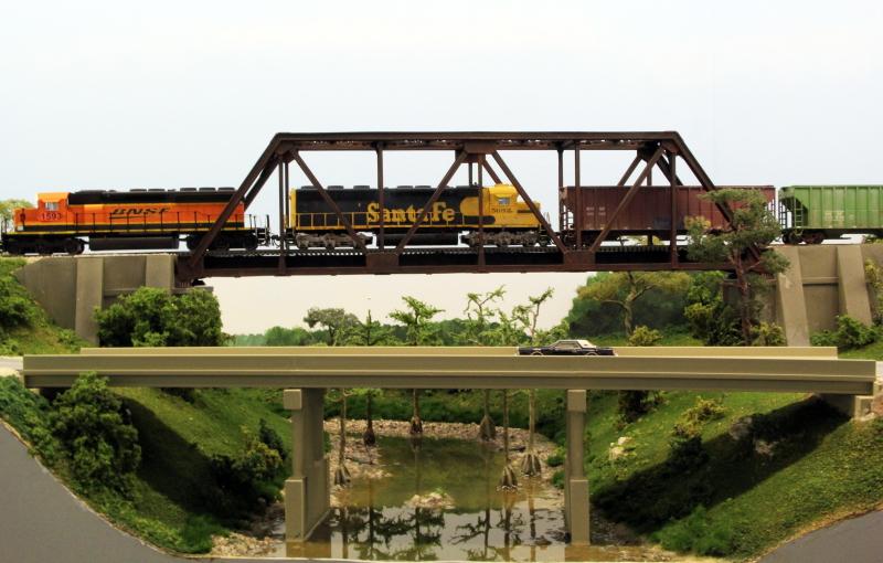
Trinity River crossing
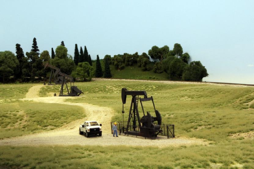
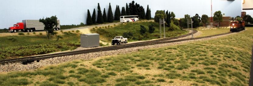
Before Smthville Jct is a rural area with oil fields
Smithville Jct.
Most of the layout is sceniced, except the last 180 degree curve at the west end of La Grange.
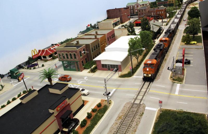
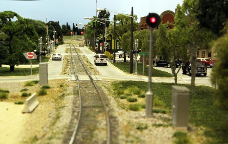
The La Grange prototype is located halfway between Houston and Austin on US-71. It has 9 blocks of street running down through the middle of Lafayette Street, which made it interesting to model.
The line sees 4 loaded and 4 empty coal trains per day, plus some rock trains and a few freights.
On the model, the coal trains run in the opposite direction – the track plan would not fit if I had to run in the correct direction.
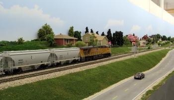
The model line sees a loaded and an empty BNSF coal train, an empty UP coal train, a UP sand train and 2 locals, one BNSF and one UP.
La Grange street running
Drone view of La Grange
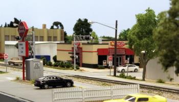
A UP sand train coming though town at the US-77 grade crossing
BNSF empty coal train coming down Lafayette Street
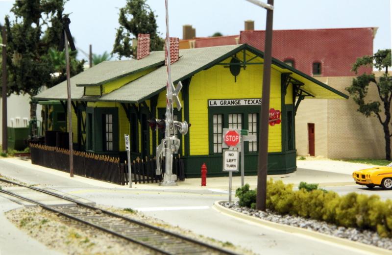
The recently restored 1897 MKT Depot on Lafayette Street
The Courthouse Square in La Grange, the backdrop picture is the actual street
Lafayette Street, looking towards Smithville Jct.